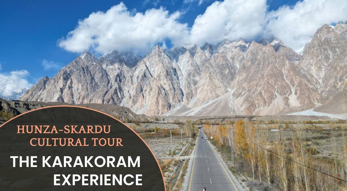
Skardu Valley Travel Guide: The Mountain Call
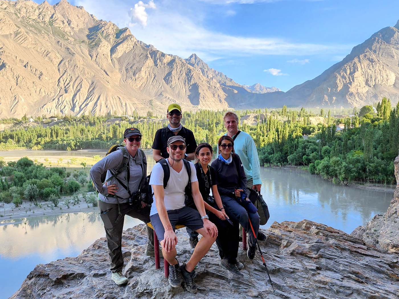
Located in Pakistan’s Karakoram Range, Skardu Valley is a Pakistan Adventure Capital full with raw, untamed wonderland of jagged peaks, glacial lakes, and Silk Road heritage. Ideal for trekkers, history buffs, and solitude seekers, Skardu offers adventure without crowds—just pure, unfiltered wilderness.
Why Visit Skardu Valley?
- Untouched Wilderness:
Trek remote trails with views of 4,800m+ peaks (no K2 from Skardu town—requires a 19-day epic through Concordia’s). - Serenity Guaranteed:
Minimal tourists outside July–September; zero Wi-Fi = ultimate digital detox. - Cultural Richness:
Explore 14th-century forts, Sufi shrines, and Balti traditions. - Sustainability Focus:
Preserve its stark beauty with eco-friendly travel practices.
“Standing atop Khosar Gung Peak (6,000m)—the easiest 6,000m summit—was pure magic.”
– Umer Latif, CEO, Beyond the Valley
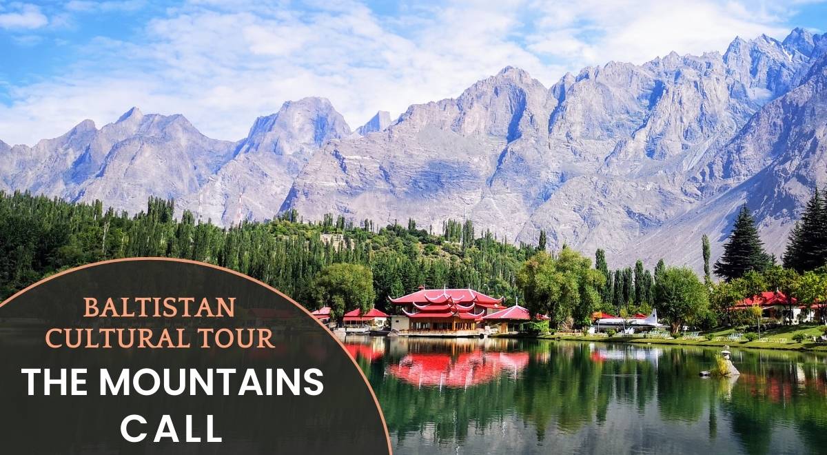
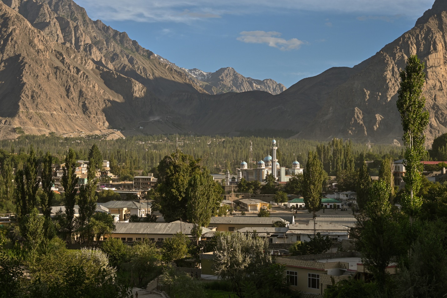
Top Attractions in Skardu
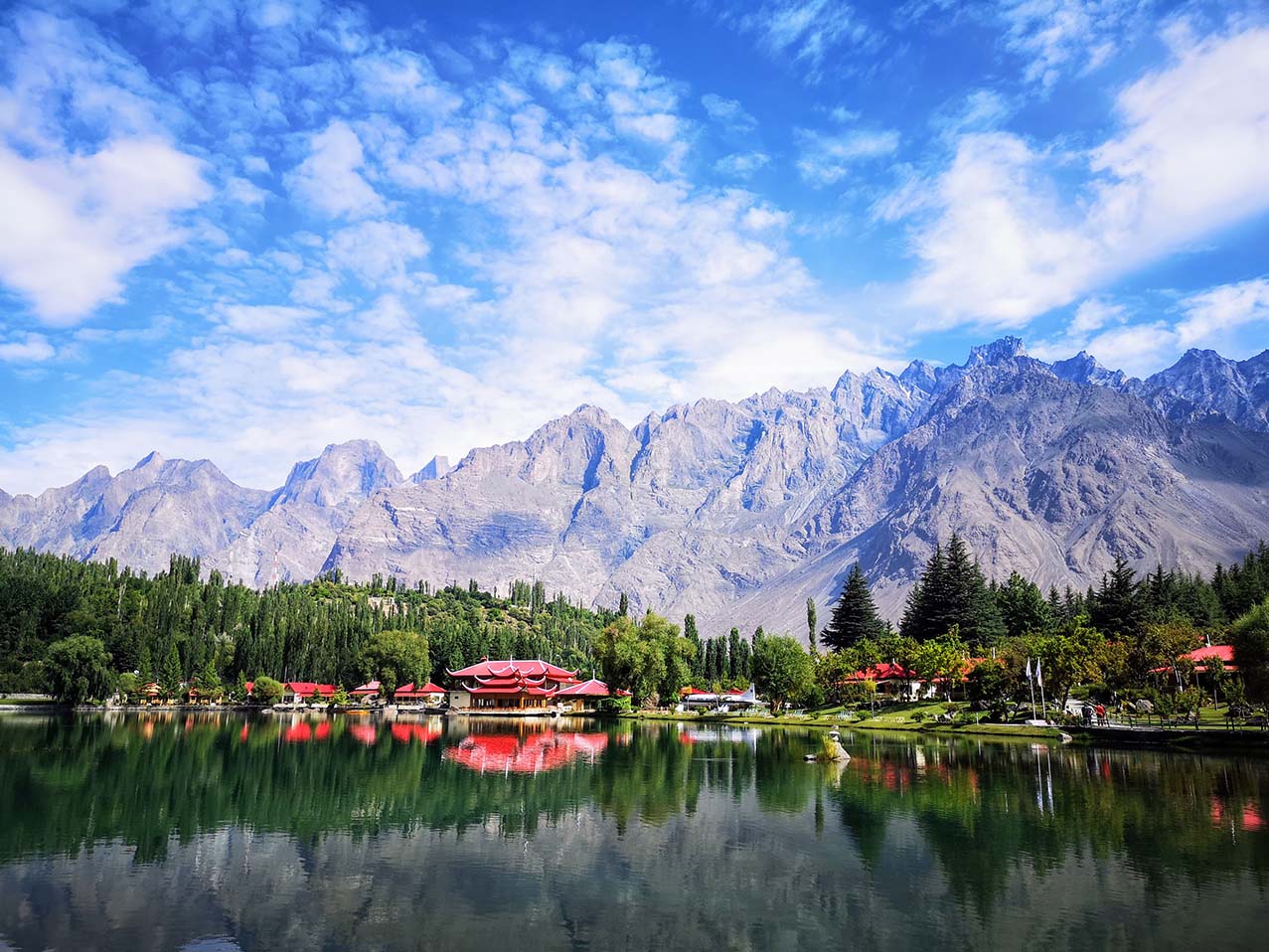
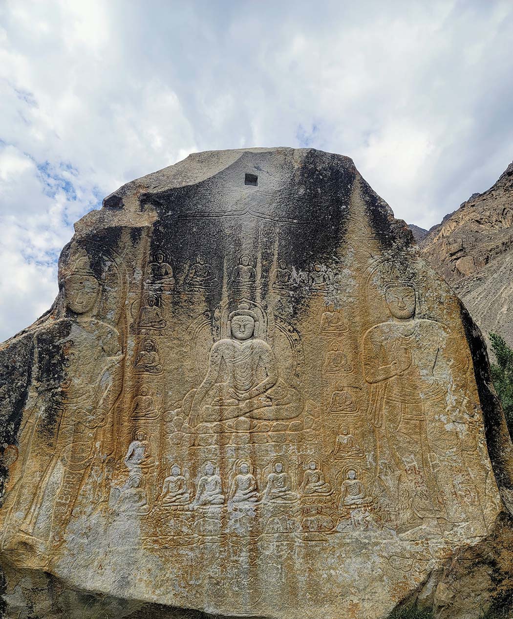
- Skardu Town:
Visit Kharpocho Fort, Manthal Buddha Rock, and boat on emerald Upper Kachura Lake (Skardu). - Katpana Desert:
Hike golden dunes framed by snow-capped peaks. - Ancient Forts:
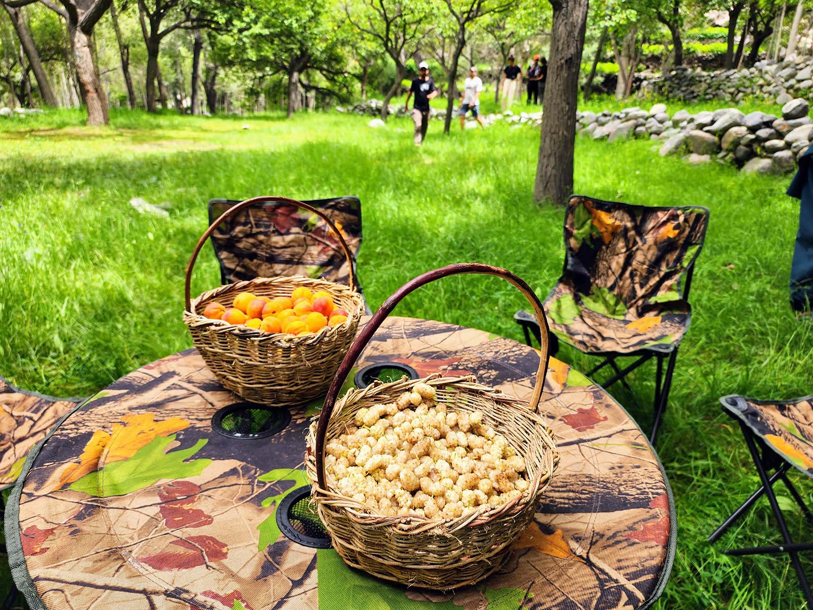
Explore Shigar Fort, Khaplu Palace, and apricot orchards in Baltistan’s cultural hubs. - Soq Valleys:
Trek through wildflower meadows and glacial streams.
Cultural Immersion
- Balti Cuisine:
Try momo dumplings, butter tea, and apricot-based dishes. - Historic Sites:
Marvel at the 700-year-old Chaqchan Mosque and Sufi khanqahs. - Local Crafts:
Shop for handwoven woollens and Balti jewellery in Skardu’s bazaars.
Adventure Highlights
- K2 Base Camp Trek:
A 19-day epic through Concordia’s “Throne Room of the Mountain Gods.” - Charakusa Glacier:
Ice climbing and alpine camping beneath Laila Peak (6,096m).
Sustainable Travel Tips
- Pack Reusable Gear:
Avoid single-use plastics (Skardu lacks waste infrastructure). - Support Locals:
Stay in homestays, hire Balti guides, and buy handicrafts. - Respect Customs:
Dress modestly and ask before photographing religious sites.
Travel Essentials
Best Time to Visit:
May–October (avoid winter road closures).
Trek Difficulty:
Moderate to extreme (e.g., K2 Base Camp vs. Charakusa Base Camp).
Pack Smart:
- High-altitude gear (layers, sturdy boots).
- Solar charger (no electricity in remote areas).
- Cash (limited ATMs) for Basho, Tormik, Bilamik and Chunda valley.