Discover Askole: The Gateway to the Throne of Mountain Gods
Introduction
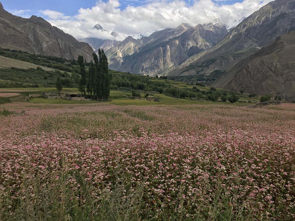
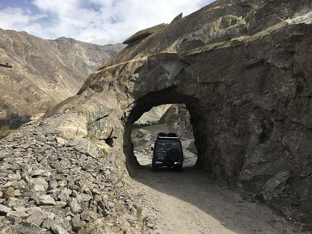
Askole, the “Last Village of the Karakoram,” is where adventurers begin their journeys into one of Earth’s most awe-inspiring trekking realms. Perched in Pakistan’s Gilgit-Baltistan, this remote Balti settlement is the final outpost before trails wind toward K2 Base Camp, the Baltoro Glacier, and the Karakoram’s legendary landscapes. Here, raw natural beauty meets centuries-old culture—perfect for trekkers seeking unspoiled wilderness and authentic experiences.

Why Trek from Askole?
- Legendary Trails:
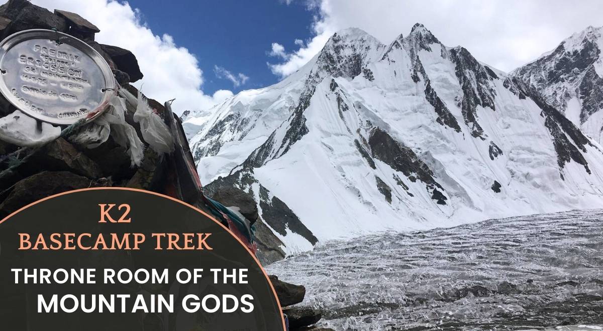
Launch treks to K2 Base Camp, Baltoro Glacier, and Concordia—the “Throne Room of Mountain Gods.” - Untouched Wilderness:
Glaciers, jagged peaks, and alpine valleys free from crowds. - Cultural Immersion:
Connect with the Balti people, known for warm hospitality and timeless traditions.
Trekking Highlights
1. K2 Base Camp Trek (14–18 Days)
- Route:
Askole → Paiju → Urdukas → Goro II → Concordia → K2 Base Camp. - Highlights:
Walk the Baltoro Glacier, witness K2’s towering face, and camp beneath peaks like Broad Peak and Gasherbrum IV.
2. Baltoro Glacier & Concordia Trek (12–14 Days)
- Route:
Traverse the 63km Baltoro Glacier, passing Trango Towers and Masherbrum. - Reward:
Savor K2 and its titanic neighbors dominating the horizon—a wild, echoing testament to your triumph.

Why Travel with Beyond the Valley?
- Local Expertise:
Many years of experience, organizing Karakoram adventures. - Ethical Tourism:
Fair wages for porters, eco-friendly camps, and community support. - Safety First:
Certified guides, satellite communication, and emergency protocols.

Practical Essentials
Best Time to Visit
- April–October:
Stable weather for trekking. Avoid winter (November–March) due to heavy snow.
Permits & Logistics
- Central Karakoram National Park Permit:
Mandatory for treks. Partner with licensed operators like Beyond the Valley for seamless planning. - Responsible Travel:
Follow eco-friendly practices; support local guides and porters.
Prepare to Trek
- Fitness:
Train for high-altitude hikes (6–8 hours/day). - Packing List:
Sturdy boots, layered clothing, UV protection, reusable water filter.