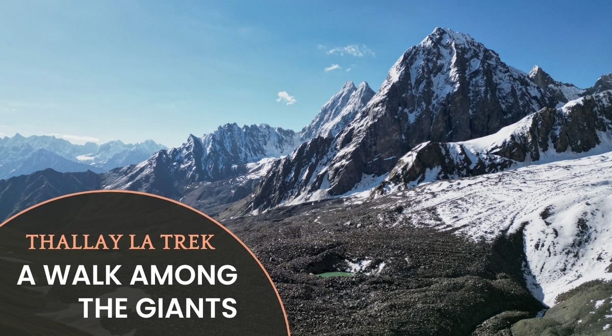
Thalay Valley Trekking Guide: A walk among the giants
Located in Pakistan’s Karakoram Range, Thalay Valley is a trekker’s paradise blending raw mountain beauty, ancient trade Road history, and vibrant Balti culture. Ideal for adventurers and culture seekers, this valley offers moderate treks, wildlife encounters, and eco-conscious travel.
Why Trek Thalay Valley?
- Epic Mountain Views:
Trek through alpine meadows under the shadow of Mount Masherbrum and Mango Gusor, with panoramic vistas of Haramosh and Saltoro ranges. - Cultural Richness:
Engage with Balti communities, explore 14th-century landmarks like Yarkhor Khanqah, and savor traditional cuisine. - Sustainable Trails:
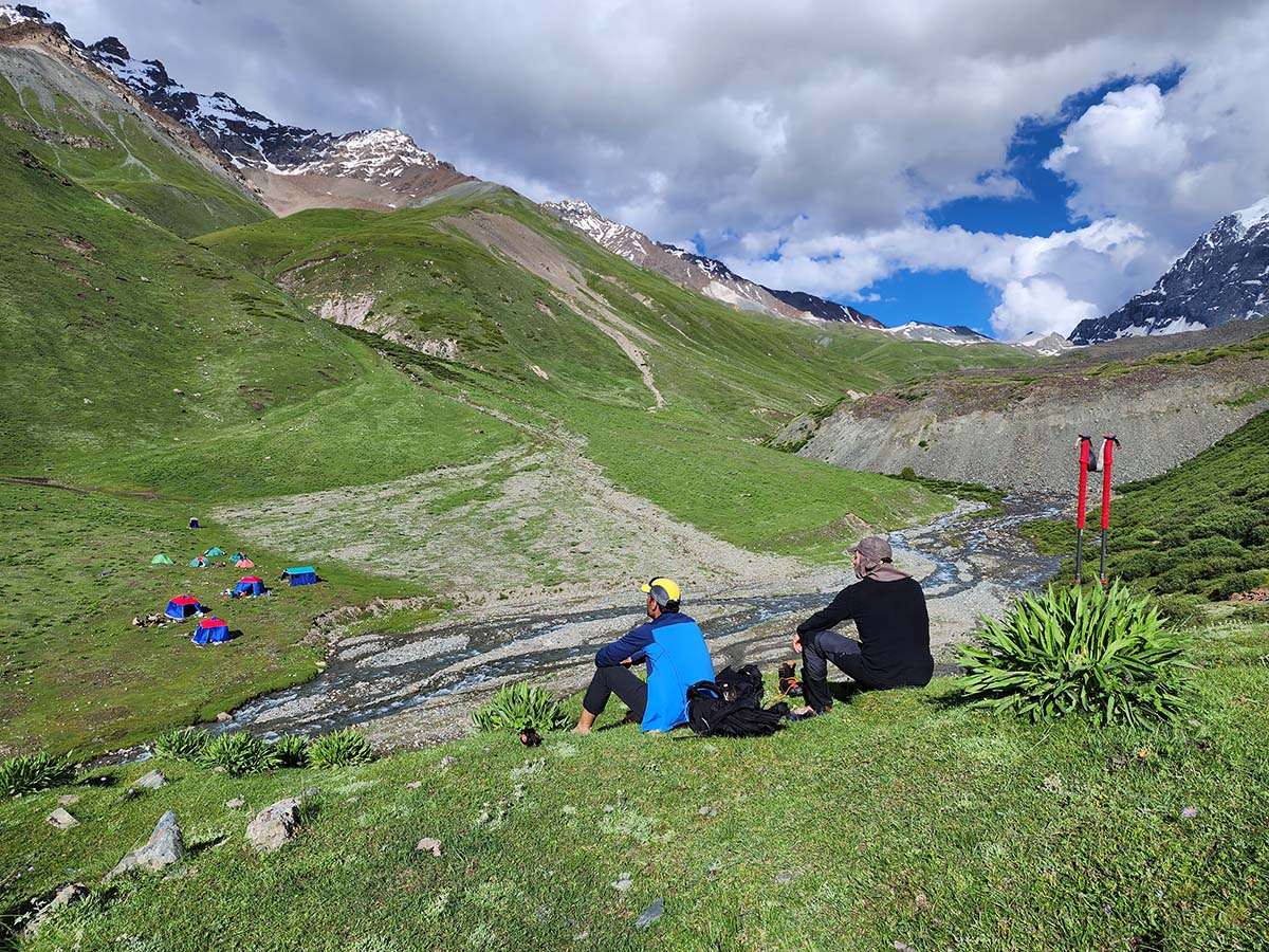
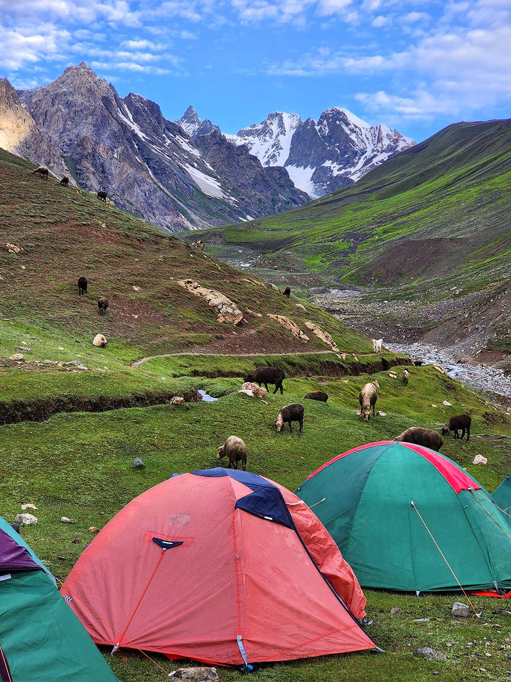
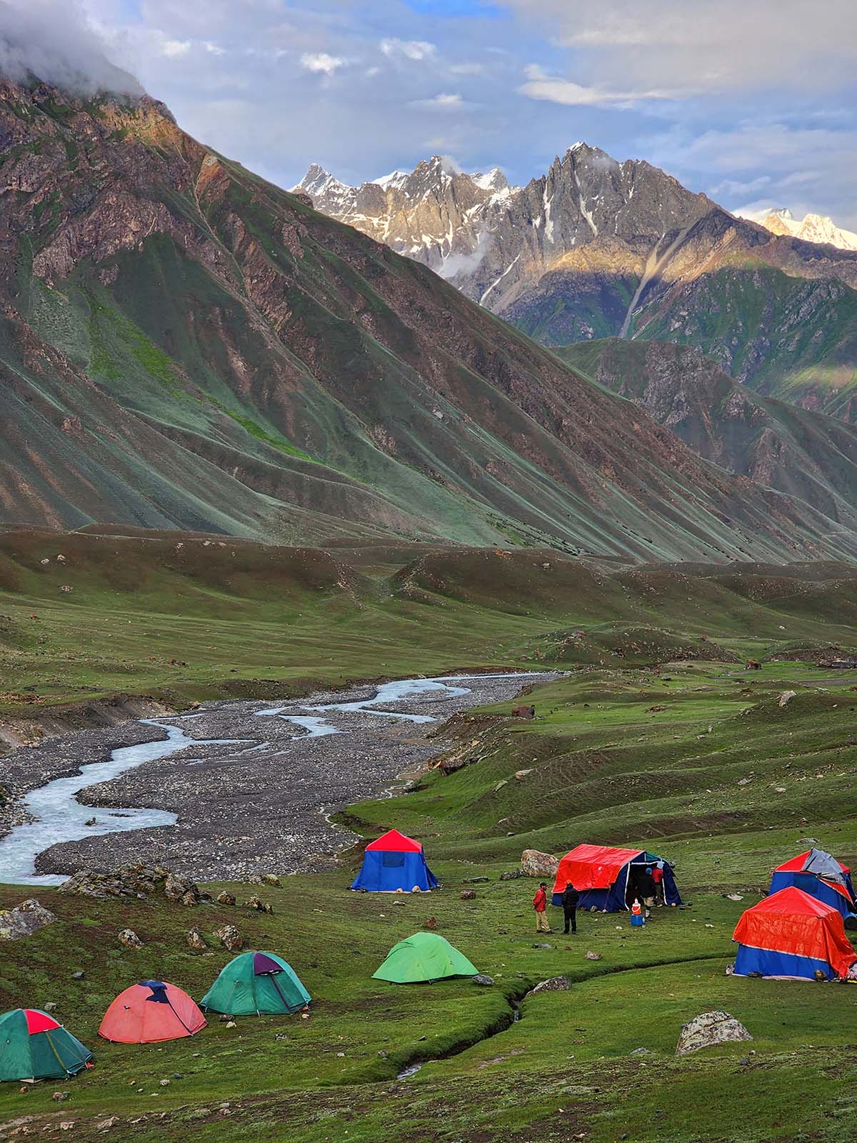
Pristine trails, glacial streams, and eco-friendly camping under star-lit skies.

Thalay Valley Trek Highlights
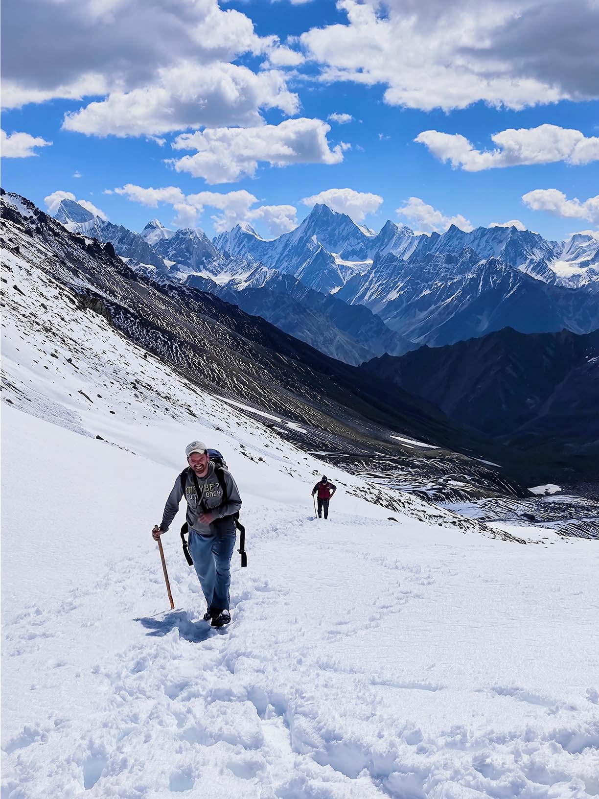
1. Thalay La Pass (4,790m)
Cross this historic Trade route connecting two old Kingdom of Baltistan, Shigar and Khaplu. Enjoy sweeping views of the Karakoram peaks.
2. Scenic Diversity
- Walk flower-filled pastures, glacial streams, and shepherd huts.
- Explore Sarafanga Cold Desert and the confluence of Indus-Shyok Rivers.
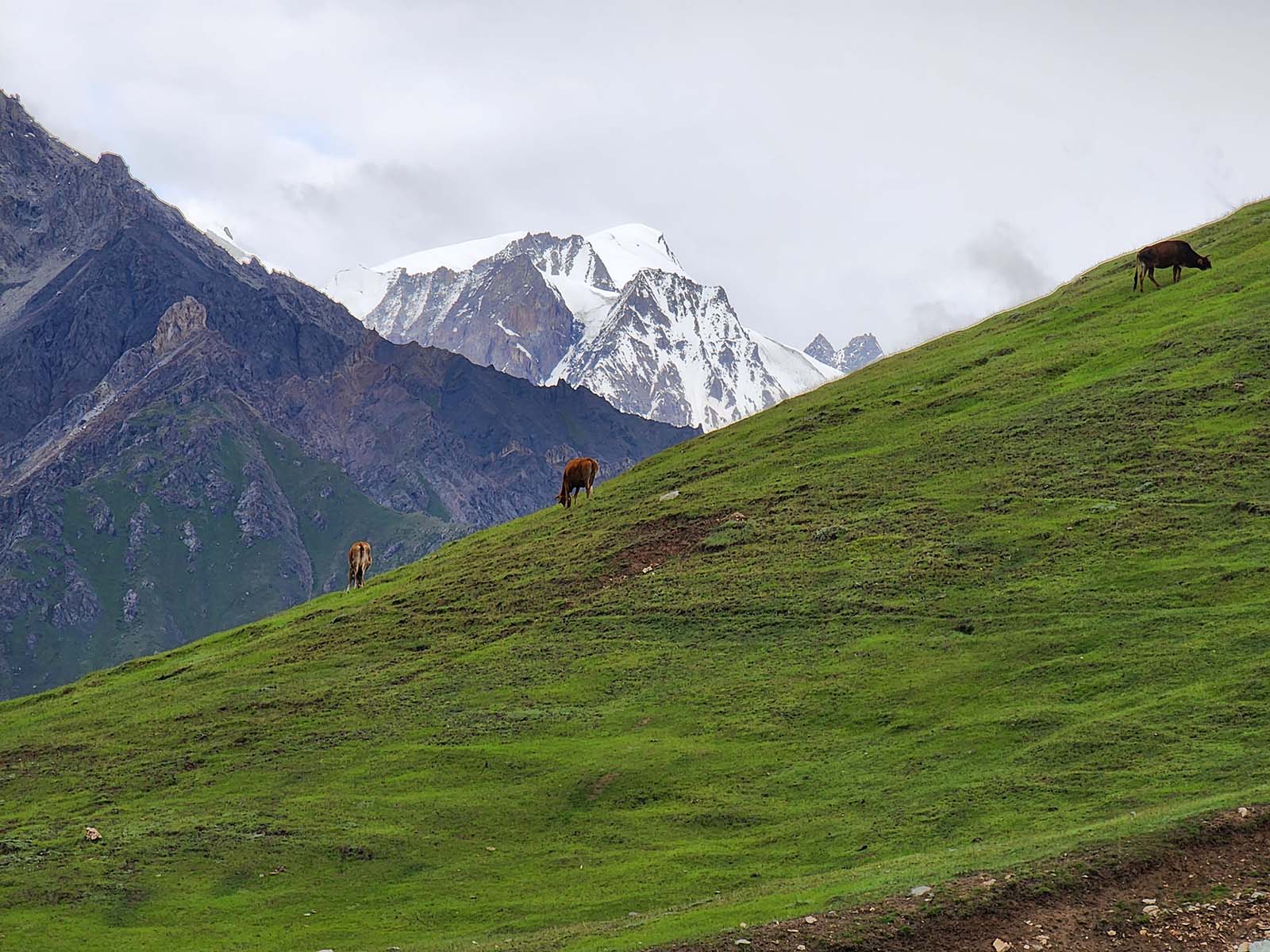
3. Wildlife Spotting
Spot Yaks, Himalayan ibex, golden eagles, various species of birds and trout-filled rivers.
Cultural Immersion in Baltistan
- Ancient Heritage:
Learn Thalay’s origins—named after a wild plant or a hospitable king—and its an ancient trade route legacy & Polo history. - Village Life:
Stay in remote Balti villages (Khaplu, Shigar) and witness traditional farming, polo grounds, and Noorbakshia Muslim traditions. - Historic Landmarks:
Visit Shigar Fort and Khaplu Khanqa Mulla Bala 1400s in Khaplu, the 1382-built Yarkhor Khanqah in Thalay.
Trekking Essentials
Best Time to Visit:
First week of June–September (mild weather, accessible trails).
Trek Difficulty:
Moderate – suitable for beginners and experts.
Distance:
38.5 Km / 23.9 miles (4–5 days) trekking.
Eco-Conscious Packing List
- Reusable water bottle + filter
- Biodegradable toiletries
- Quick-dry clothing (layers for cold/dry climate)
- Sturdy hiking boots + solar-powered gear

Sustainable Travel Practices
- Support Locals:
Hire Balti guides, stay in village homestays, and buy handicrafts. - Leave No Trace:
Pack out waste, avoid plastics, and respect cultural norms. - Wildlife Protection:
Observe animals responsibly; avoid disturbing habitats.
Unforgettable Experiences
- Stargazing:
Camp under Milky Way skies surrounded by Karakoram peaks. - Buckwheat Fields of Kharko:
Walk through golden fields with Himalayan vistas. - Balti Cuisine:
Taste apricot soups, yak butter teas, and hearty stews.