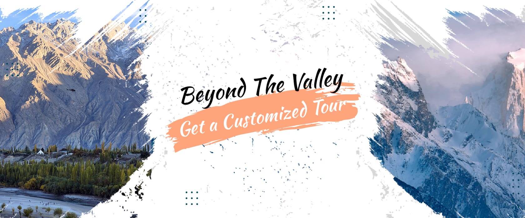
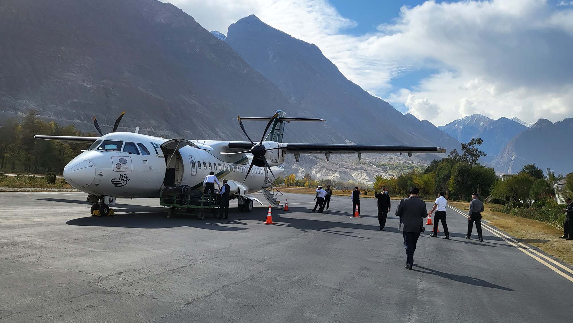
Hunza Valley Travel Guide: Pakistan’s “Shangri-La.”:
Discover Rakaposhi treks, Baltit Fort, Attabad Lake, and eco-friendly travel tips in the Karakoram mountains.
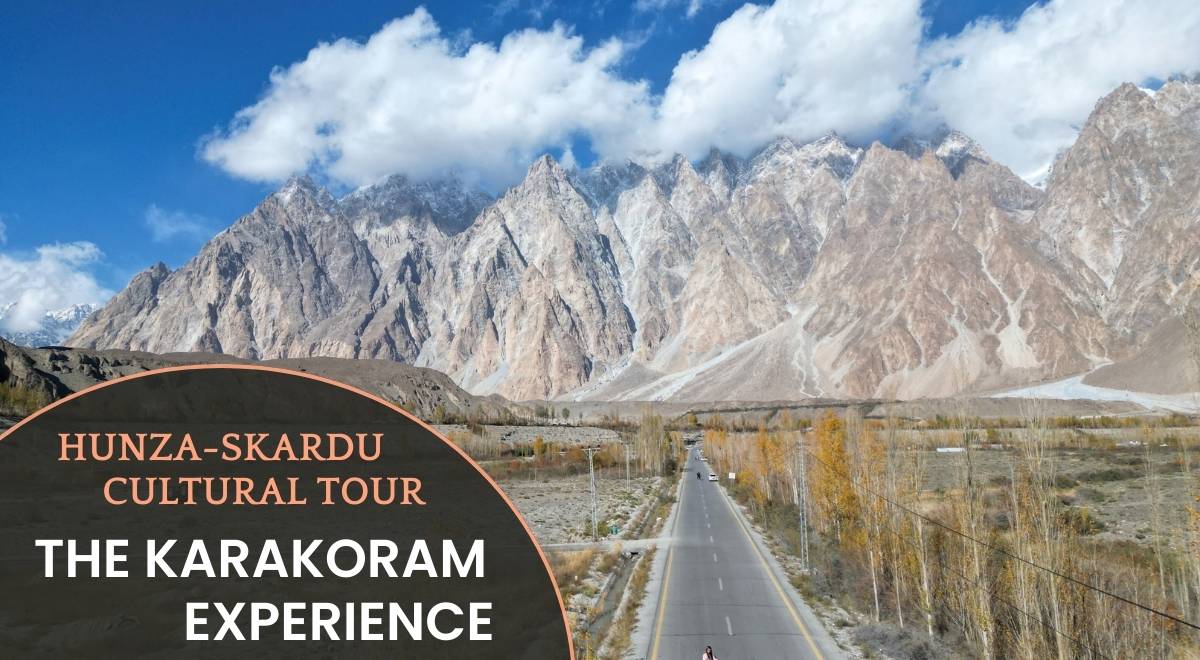
Hunza Valley: A Journey to Pakistan’s Mountain Paradise:
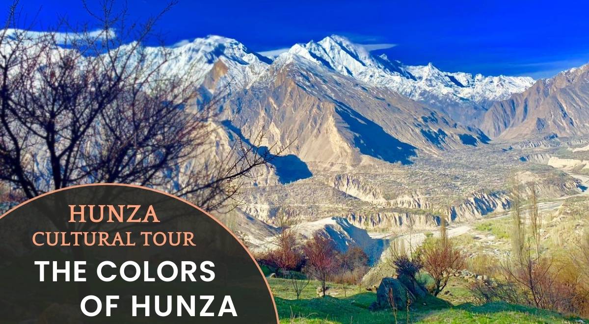
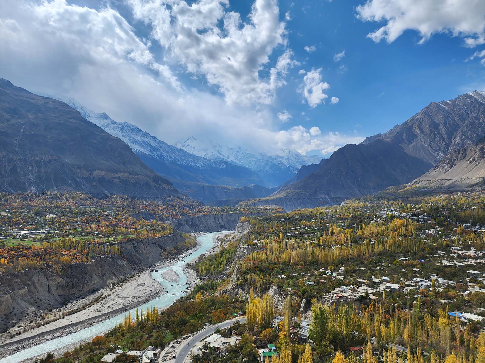
Hunza Valley is an internationally recognized gem famed for its snow-capped peaks, ancient forts, and progressive communities in Pakistan’s Karakoram Range. Hunza offers a rare blend of adventure and serenity, ideal for trekkers, culture lovers, and eco-conscious travelers.
Baltit fort has received its renovation and has been turned into a heritage museum. The Bazaar here in Karimabad is ideal for its local handicrafts, traditional embroidered caps, handmade rugs, hand-woven cloth, shawls, and gemstones that are famous worldwide, mainly Ruby. The Ruby mines are the main tourist attractions.
Why Visit Hunza Valley?
- Iconic Peaks & Treks:
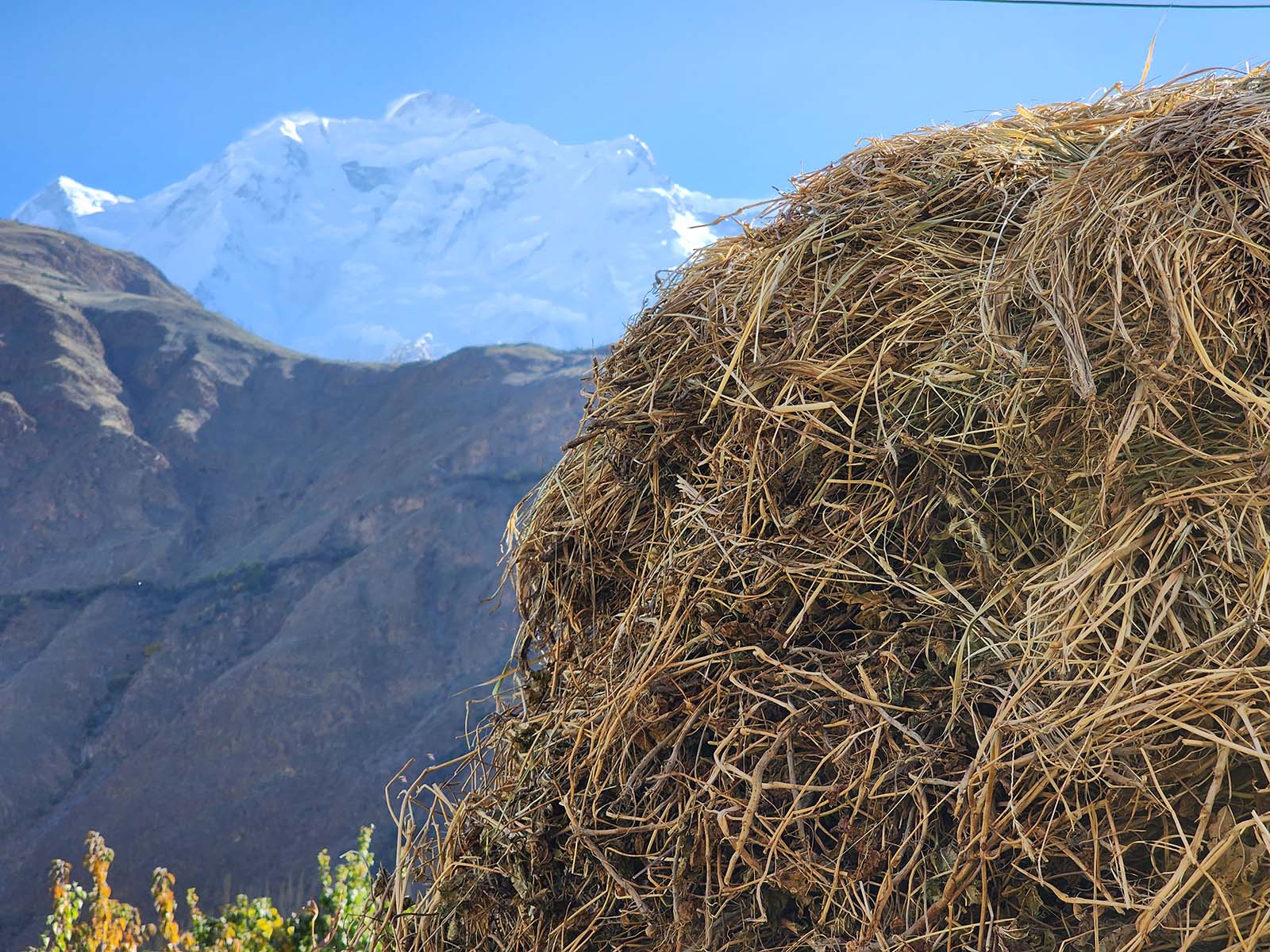
Hike beneath Rakaposhi (7,788m), Passu Cones, and Golden Peak (7027 m) with trails for all skill levels. - Cultural Heritage:
Explore 1,000-year-old forts, Silk Road history, and vibrant Wakhi/Shina & Burusho Tradations. - Sustainability Leader:
Pakistan’s first plastic-free district, promoting eco-tourism and community-driven initiatives. - Safe & Welcoming:
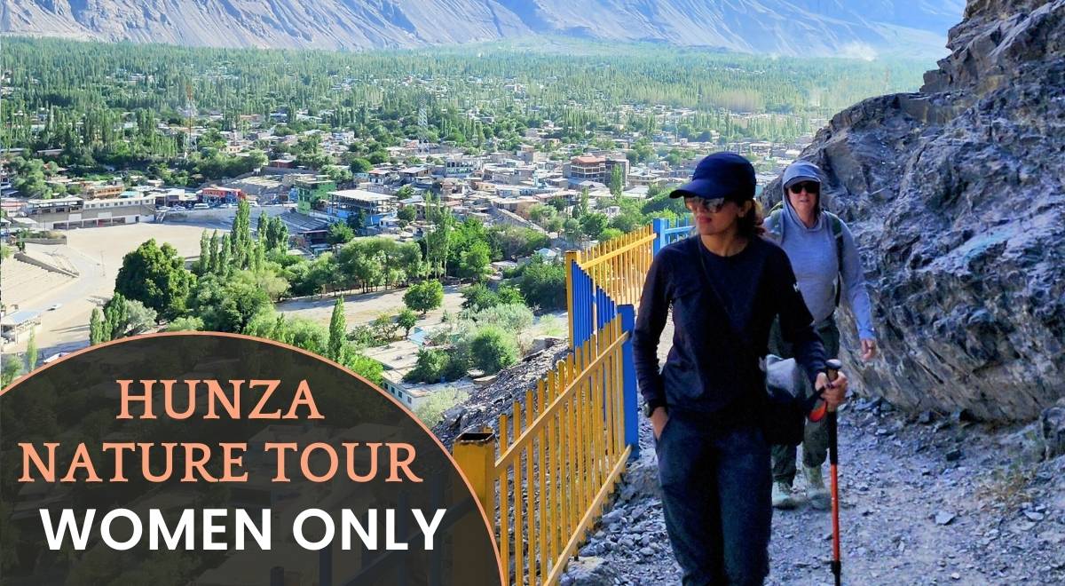
Renowned for safety, high literacy (90%), and gender-progressive values.
Top Attractions in Hunza Valley
- Rakaposhi Base Camp Trek
A moderate trek offering jaw-dropping views of the “Mother of Mist.” - Baltit & Altit Forts
Hunza’s royal legacy, the both forts have received the UNESCO Asia Pacific Heritage Award for Cultural Heritage Conservation in 2011. - Attabad Lake
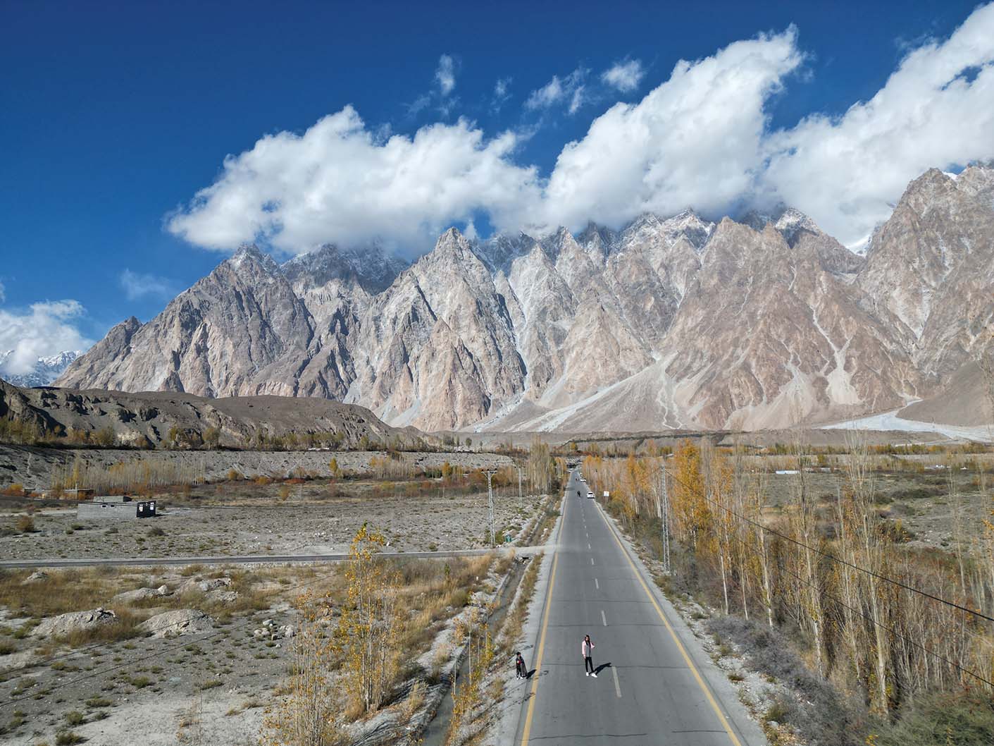
Turquoise waters perfect for boating, photography, and sunset views. - Passu Glacier & Cones
Hike among jagged ice formations and iconic “Cathedral Ridge” peaks. - Dukir/Eagle’s Nest view point
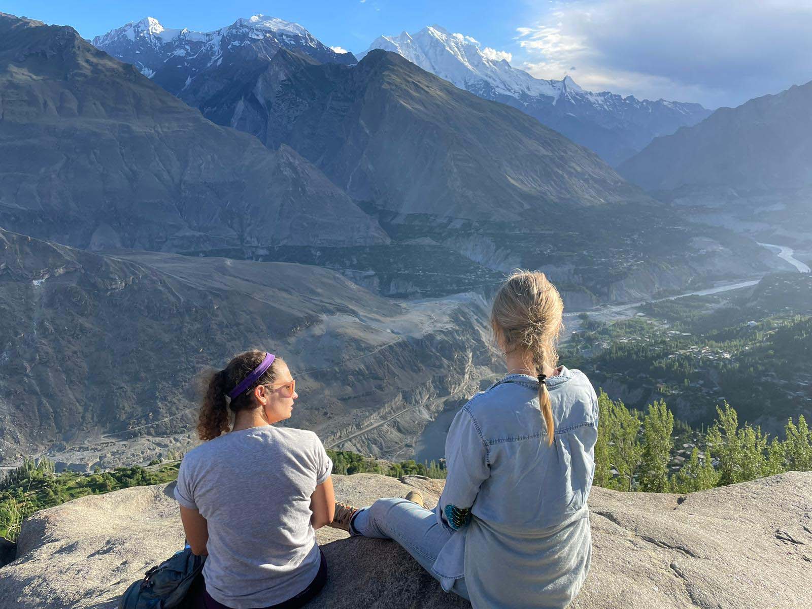
Capture sunrise vistas over Hunza’s terraced fields and Karimabad town.
Cultural Experiences
- Local Cuisine:
Taste chapshuro (meat flatbread), apricot jams, and walnut desserts. - Festivals:
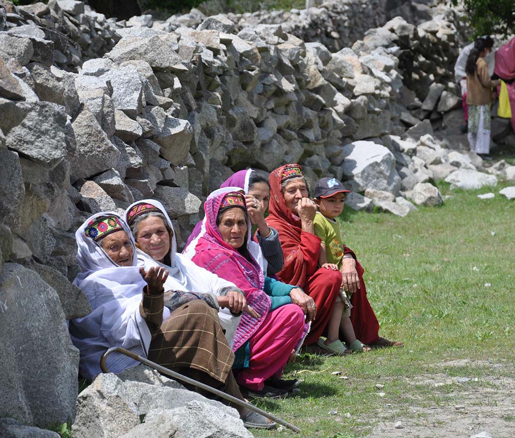
Join Ginani (harvest festival) or chat with elders about Hunza’s Silk Road past. - Women Empowerment:
Meet trailblazing Hunza women leading education and business initiatives.
Trekking & Travel Essentials
Best Time to Visit:
April–October (spring blooms, autumn hues).
Trek Difficulty:
Easy to challenging (e.g. Rakaposhi Basecamp vs. Ultar sar).
Pack Smart:
- Layers for cold mountain nights
- Reusable bottles (plastic-free zone!)
- Solar chargers (limited connectivity = digital detox).
Sustainable Travel Tips
- Stay Eco-Conscious:
Opt for an Eco-Friendly Hotel like Offto resort. - Support Locals:
Buy handicrafts, hire Hunzakut guides, and dine at family-run cafes. - Respect Traditions:
Dress modestly and ask permission before photographing locals.
Unforgettable Highlights
- Stargazing:
Camp under Milky Way skies near Rakaposhi Tagafari Base Camp. - Hunza’s Women:
Learn from female entrepreneurs reshaping community roles. - Silk Road Legacy:
Walk ancient trails connecting Baltit Fort to China’s Silk Route.